Truck for the day…
The GPS is a wonderful addition to us
travelers. However they are not fool
proof. I am thinking of our friend Pauline (RIP) she called it ‘The girl in the
box!’
Our GPS has taken us to2 driveways over time, both were planned roads but never built.
I told everyone back when Sherry was our GPS (SHE NEVER go us lost) but
once put us on a road that took us into the back of an Army Base, in the middle
of tank maneuvers in California. It was a small road, but nothing like
this guy got into. I just saw that on the net.
I like solitude, but this is ridiculous!
While waiting for a folks to give
estimates for a parking pad this picture popped up. I could not place where we were. Sherry said, “That
was on Mackinac Island.”
Yep, she is right),
Mackinac Island, MI. We enjoyed the walk
around over there. No automobiles are allowed on the island and the walk around was very
pleasant.
Our screen saver takes us back to past journeys. That one took us thru the Soo Locks, Upper MI to the shores of Lake Superior. (Gitche Gumee according to Dar!).
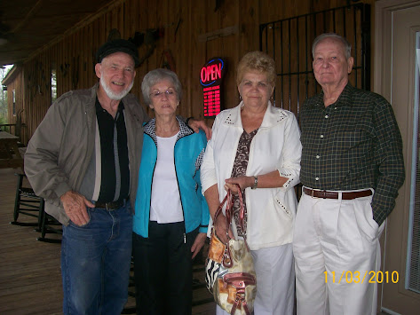
WE had the privilege to meet Dar/Bill and Mel/Slim who live in the North
Woods of Wisconsin. They still live much
‘off the land.’ Both products of the Big
“O” family.
We went all around the country MO, KS, CO, UT, ID, NV and NM. NM we made Sandia Peak via Cable cars. Over looking Albuquerque.
We did the tourist thing with old friends Buddy and DI.
Then TX, KS, MI, AL, TN and stopped in NC to bury Ruth; the sweetest of Sisters in law. She had been like a 2nd mama to me.
Then headed back South to Mississippi. Stopping in
Alabama to see more REAL people and country. That was in 2010, wow how time
passes.
(I called her Jean of Opp. A SPECIAL person, also her husband Grover. May they RIP, one lady you could never forget!!)
Odd what one picture will make my mind do! Does it happen to you?
(I would love to walk thru this!)
Nite Shipslog
PS:


+018.jpg)


+040aa_edited-1.jpg)


6 comments:
I read just recently that the tram car in Albuquerque to go up to Sandia Peak broke down. Basically just stopped. People were stuck in it for I think 14 hours. I've been on it before but not going on it again if we make it back to the area :)
Mackinac Island looks like it would be really pretty to explore :)
I love GPS and Google Maps with directions except when they give you the wrong ones, lol. I like the directions when they say "go west and then turn right at such and such a street." It takes me a minute to figure out where west is :)
betty
It is so nice to have fond memories captured in photos. Also, a good idea to have them as your screen-saver. Enjoy.
God bless you both and your family.
I think its good that Sherry is a good navigator with all the traveling you've done. Not many of us have seen as many places as you've gone to. I like the map app on the computer but don't have a gps in the car. Sometimes I wish I did.
That's pretty great, y'all being able to recapture precious memories via your screen saver!
I'm laughing about Betty's comment re. GPS directions. So true! I hate when I'm in an unfamiliar place and it tells me to go west/south (whatever) -- unless it's sunrise or sunset, I haven't a clue. Same thing with, 'in 1,000 feet' when someone (like ME) has no concept of space. Wish it would just say, 'Turn left at the Texaco station.' LOL.
You and Sherry have done pretty good for yourselves before artificial intelligence came along!
I loved the pictures, but that camper one, woooh weeh, it made my stomach turn.
Lisa
❤️ Miss them so much!
Sheila
Post a Comment